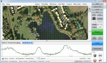
Digital Terrain Modelling
Providing highly detailed representations of the topographical variations in site surfaces, merged with other digital data, such as maps or orthophotographs, our digital terrain models can offer a comprehensive 3D image of the land surface.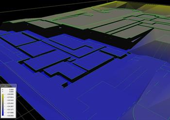
Visit the Apex Engineering Services Ltd website for more information on Digital Terrain Modelling
ENQUIRY FORM