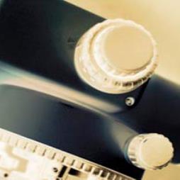
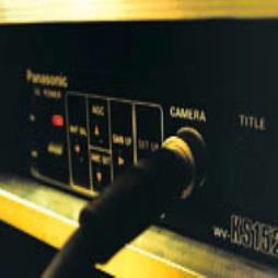
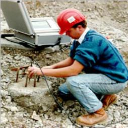
General Video Levelling
One camera looks through the telescope of the levelling instrument, recording the cross-hairs and staff reading. A second camera records a general view to show where the staff is, and what it is sitting on and the third camera records the bearing of the telescope. Distances are subsequently calculated by tacheometry, giving all the necessary information for a general level survey.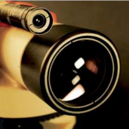
Visit the Applied Geotechnical Engineering Ltd website for more information on General Video Levelling
ENQUIRY FORM