Comprehensive Topographical Land Surveys
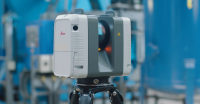
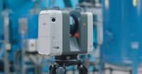
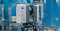
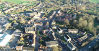
Comprehensive Topographical Land SurveysTopographical Land Surveys are carried out using calibrated Leica © instrumentation that can be used in EDM or ERmodes, enabling us to survey points where no access is possible (up to 300 metres) together with ridge and eaves level of surrounding buildings as well as those on site.
Please feel free to contact us on 01986 872716 if you need more details!
Visit the SJ Geomatics Ltd website for more information on Comprehensive Topographical Land Surveys


