Highly Accurate Contour Mapping Services
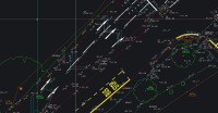
Highly Accurate Contour Mapping ServicesTopographical land surveys are a requirement during the initial phase of any project or development. Constructed from measured elevation points on a particular piece of land, presented as contour lines on a plot.
Visit the SJ Geomatics Ltd website for more information on Highly Accurate Contour Mapping Services

