Real-Time Underground Utility Tracing
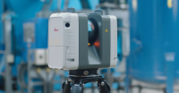
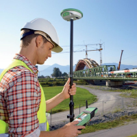
Real-Time Underground Utility TracingUnderground detection using Ground Penetrating Radar (GPR) & Radio Frequency Location (RFL) along with Total Positioning Station (TPS), Global Positioning System (GPS) and Ordnance Survey (OS) data will give you the ability to utilise existing underground services within your project.
Visit the SJ Geomatics Ltd website for more information on Real-Time Underground Utility Tracing
ENQUIRY FORM