Hydrographic Surveys
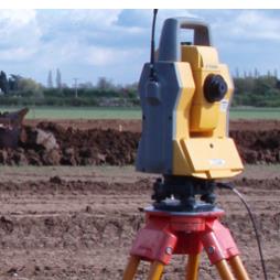
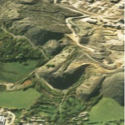
- Hydrographic surveys - Bathymetric surveys - Flood risk assessment surveys We carry out detailed surveys of lakes, rivers, reservoirs, quarry lagoons and water treatment plants. A sophisticated system employing portable echo sounders, robotic total stations and GPS are used to measure and record data.
Visit the Mining Surveys (UK) Ltd website for more information on Hydrographic Surveys
ENQUIRY FORM