Laser scanning
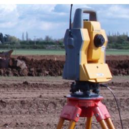
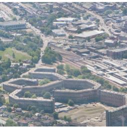
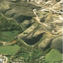
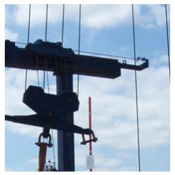
- Remote surveying lowers the need for expensive road closures, plant shut downs and eliminates the risks that come with conventional surveying and mapping methods. - The integration of different measuring methods enable the efficient and affordable generation of plans, sections, elevations and 3D models for use in any surroundings. - Mining Surveys (UK) Ltd offer a fully integrated surveying service utilising survey grade GPS, Robotic / Reflectorless Total Stations and long range terrestrial laser scanners.
Visit the Mining Surveys (UK) Ltd website for more information on Laser scanning
ENQUIRY FORM