Aerial Drone Mapping And High-Resolution Site Photography UK
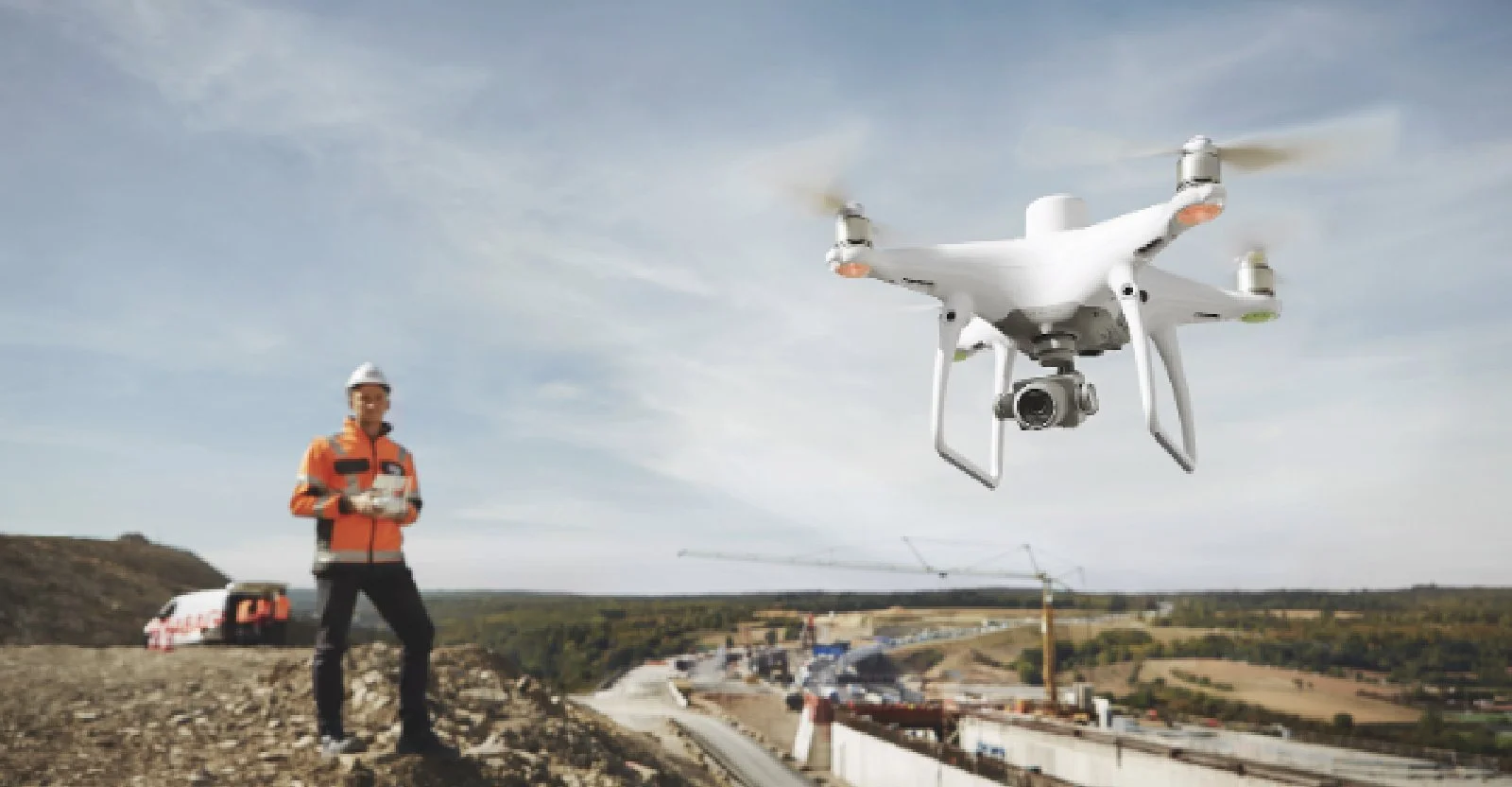
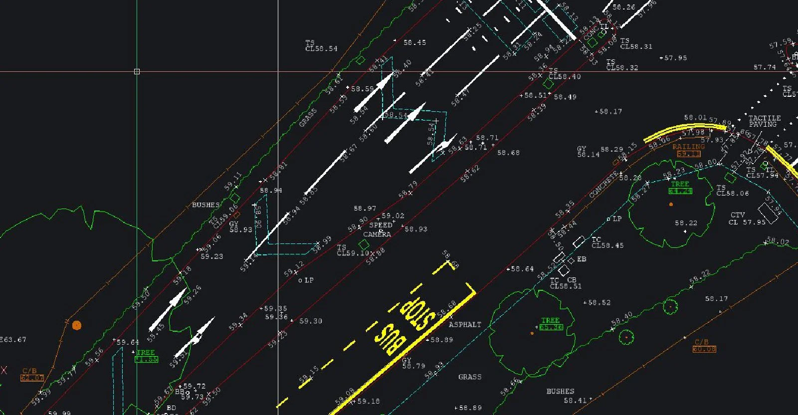
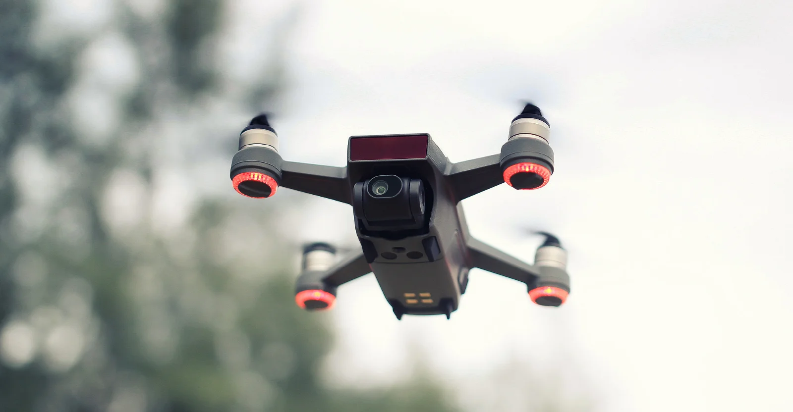
Aerial Drone Mapping And High-Resolution Site Photography UKSJ Geomatics offers professional drone survey services across the UK using UAVs with high-definition cameras and thermal imaging. We deliver aerial mapping, detailed site photography, 3D point-clouds, thermal inspections, solar roof and structural surveys — ideal for construction, planning, maintenance or energy-efficiency checks. Accurate, fast, cost-effective.
Visit the SJ Geomatics Ltd website for more information on Aerial Drone Mapping And High-Resolution Site Photography UK
ENQUIRY FORM