Affordable Drone Survey Services For Land Development And Planning UK
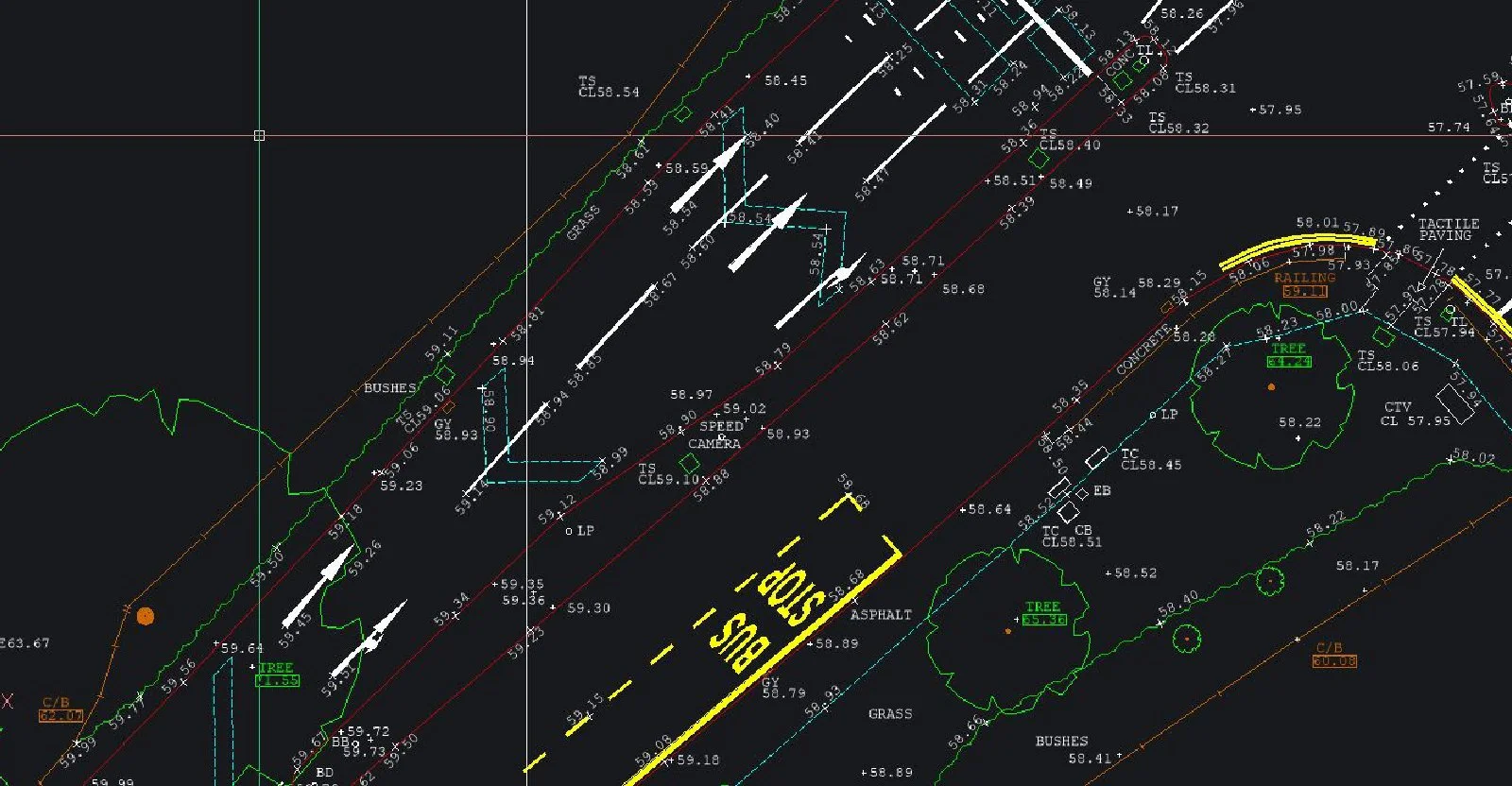
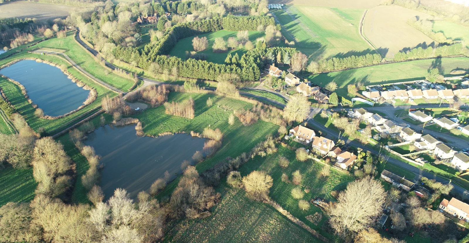
Affordable Drone Survey Services For Land Development And Planning UKSJ Geomatics offers professional drone survey services across the UK using UAVs with high-definition cameras and thermal imaging. We deliver aerial mapping, detailed site photography, 3D point-clouds, thermal inspections, solar roof and structural surveys — ideal for construction, planning, maintenance or energy-efficiency checks. Accurate, fast, cost-effective.
Visit the SJ Geomatics Ltd website for more information on Affordable Drone Survey Services For Land Development And Planning UK
ENQUIRY FORM