Cost Effective Land Survey Services For Architects In East Anglia
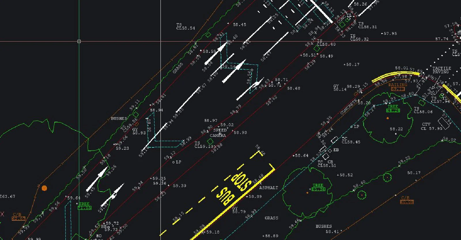
Cost Effective Land Survey Services For Architects In East AngliaSJ Geomatics Ltd can offer you Topographical land surveys that are a requirement during the initial phase of any project or development. Constructed from measured elevation points on a particular piece of land, presented as contour lines on a plot. A land survey details the natural and built environment and will impact the development and progress of the project. It is therefore essential that they are carried out with a high level of accuracy and efficiency. Our well-trained team of land surveyors offer these qualifications, along with a professional, affordable and personal service that strives to meet the specific requests of our clients.
Surveying is done by an on-site surveyor using equipment that is among the most accurate in the market; to within +/- 3mm, so you can feel confident that we can deliver to your specifications. Surveys are tied into national grid co-ordinates in X, Y and Z at no extra cost to you. In addition, our office staff utilise highly technical data transfer and imaging software to produce technical drawings.

Visit the SJ Geomatics Ltd website for more information on Cost Effective Land Survey Services For Architects In East Anglia
ENQUIRY FORM