Drone Surveys And 3D Laser Scanning Combined For Detailed Site Surveys
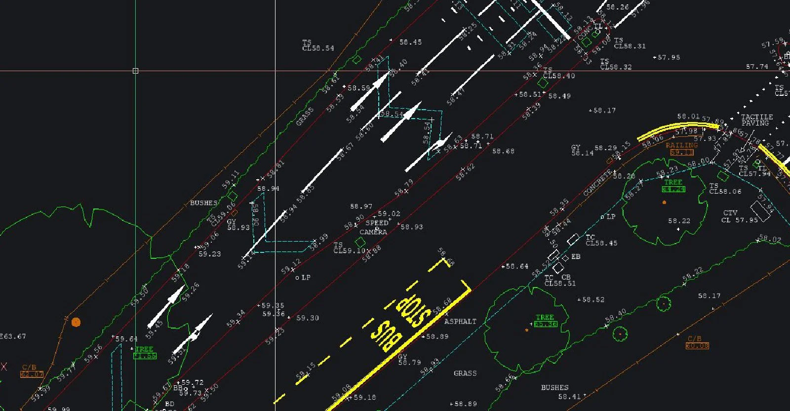
Drone Surveys And 3D Laser Scanning Combined For Detailed Site SurveysSJ Geomatics delivers high-definition 3D laser scanning surveys across the UK, capturing millions of data points per second for precise as-built models, point clouds, 2D drawings or 3D CAD formats. Ideal for measured building surveys, renovation, BIM integration, underground utility detection and topographic mapping — fast, accurate, cost-effective.

Visit the SJ Geomatics Ltd website for more information on Drone Surveys And 3D Laser Scanning Combined For Detailed Site Surveys
ENQUIRY FORM