Ground Penetrating Radar (GPR) And TPS For Underground Mapping
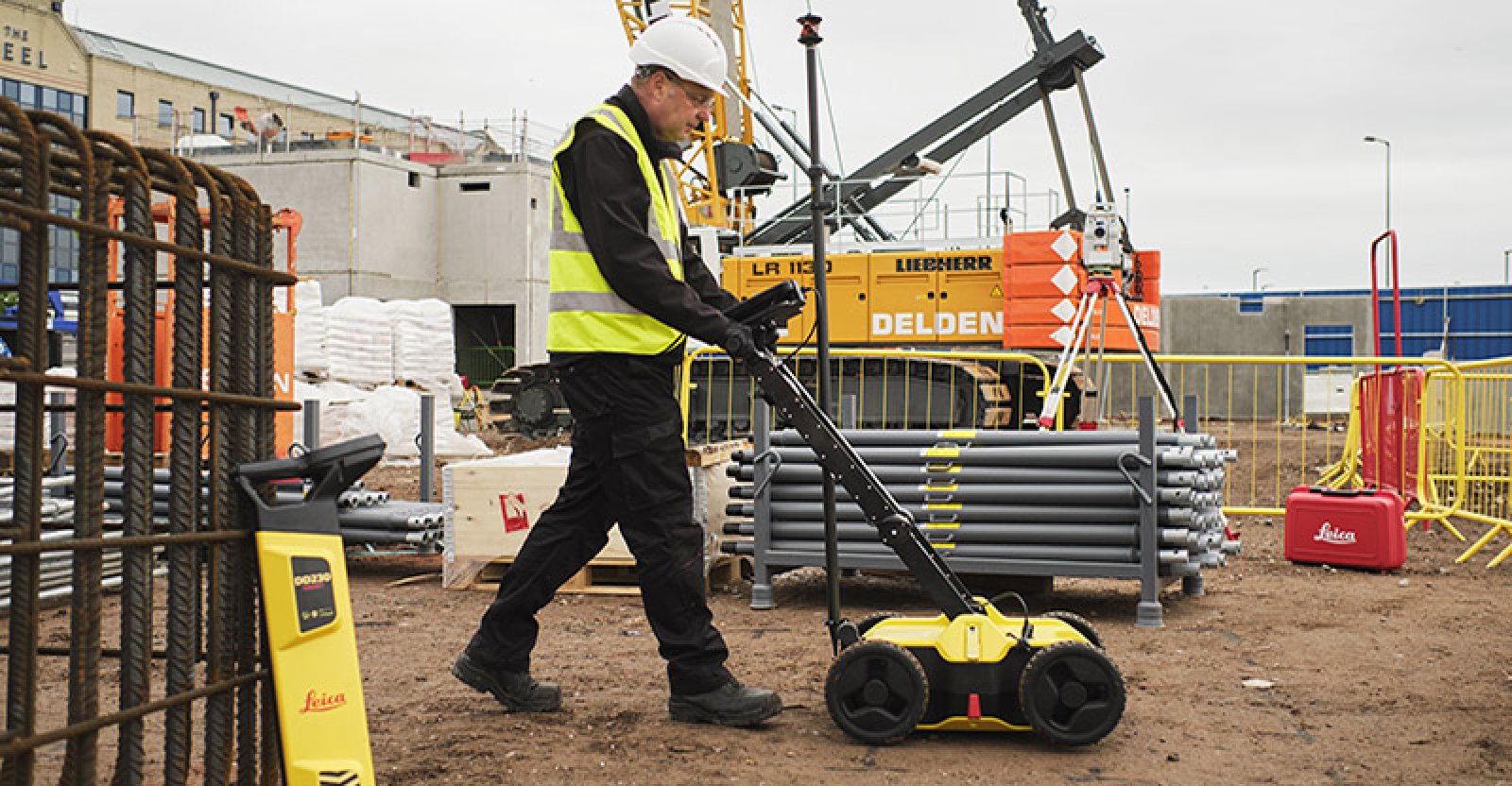
Ground Penetrating Radar (GPR) And TPS For Underground MappingUnderground detection using Ground Penetrating Radar (GPR) & Radio Frequency Location (RFL) along with Total Positioning Station (TPS), Global Positioning System (GPS) and Ordnance Survey (OS) data will give you the ability to utilise existing underground services within your project. Underground surveys can also reduce the risk of damage by construction workers due to the unknown location of buried pipes. With minimal disruption our on-site surveyor can get you fast, reliable survey findings from almost any project setting.
Visit the SJ Geomatics Ltd website for more information on Ground Penetrating Radar (GPR) And TPS For Underground Mapping
ENQUIRY FORM