UK Topographical Land Survey Services For Site Development
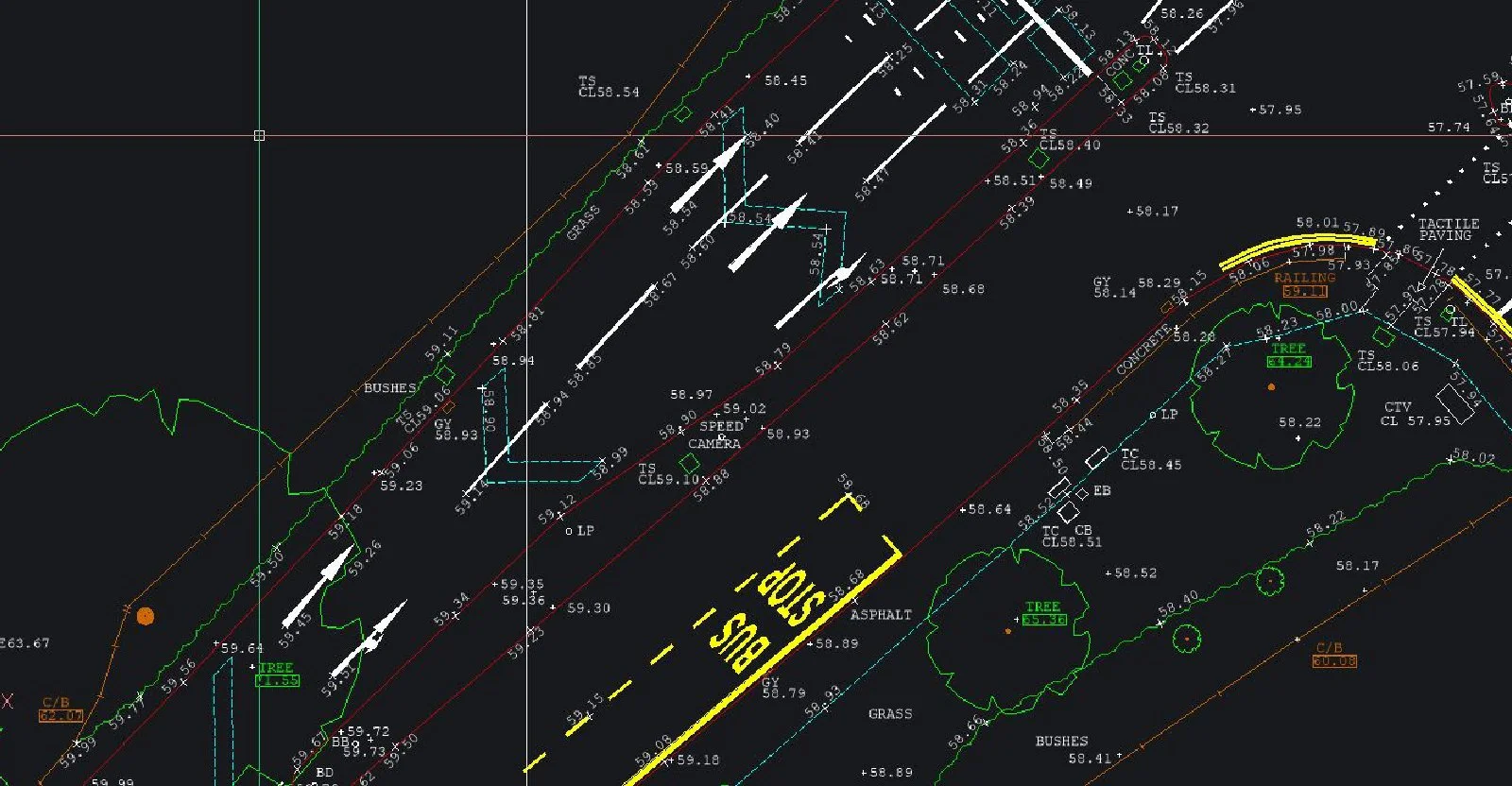
UK Topographical Land Survey Services For Site DevelopmentSJ Geomatics provides precise topographical land surveys across the UK, capturing elevations, contours, and all natural and built features. Delivered in 2D or 3D CAD or drawing formats, our surveys support development planning, landscaping, flood-risk, highways, boundary or volumetric assessments — accurate, reliable and cost-effective.

Visit the SJ Geomatics Ltd website for more information on UK Topographical Land Survey Services For Site Development
ENQUIRY FORM